Mapility — 3D City Models for Mobility
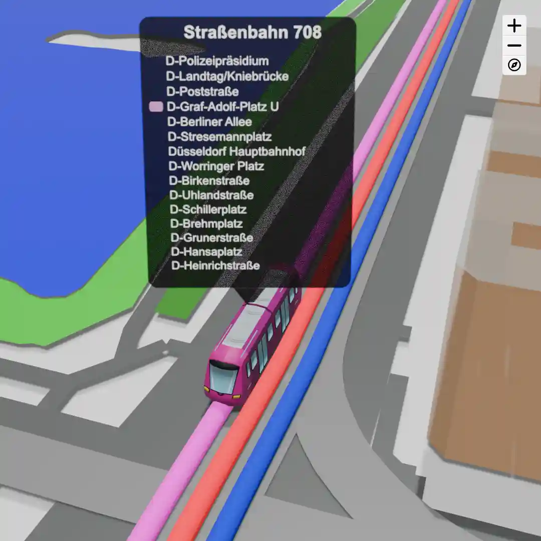
Street Networks
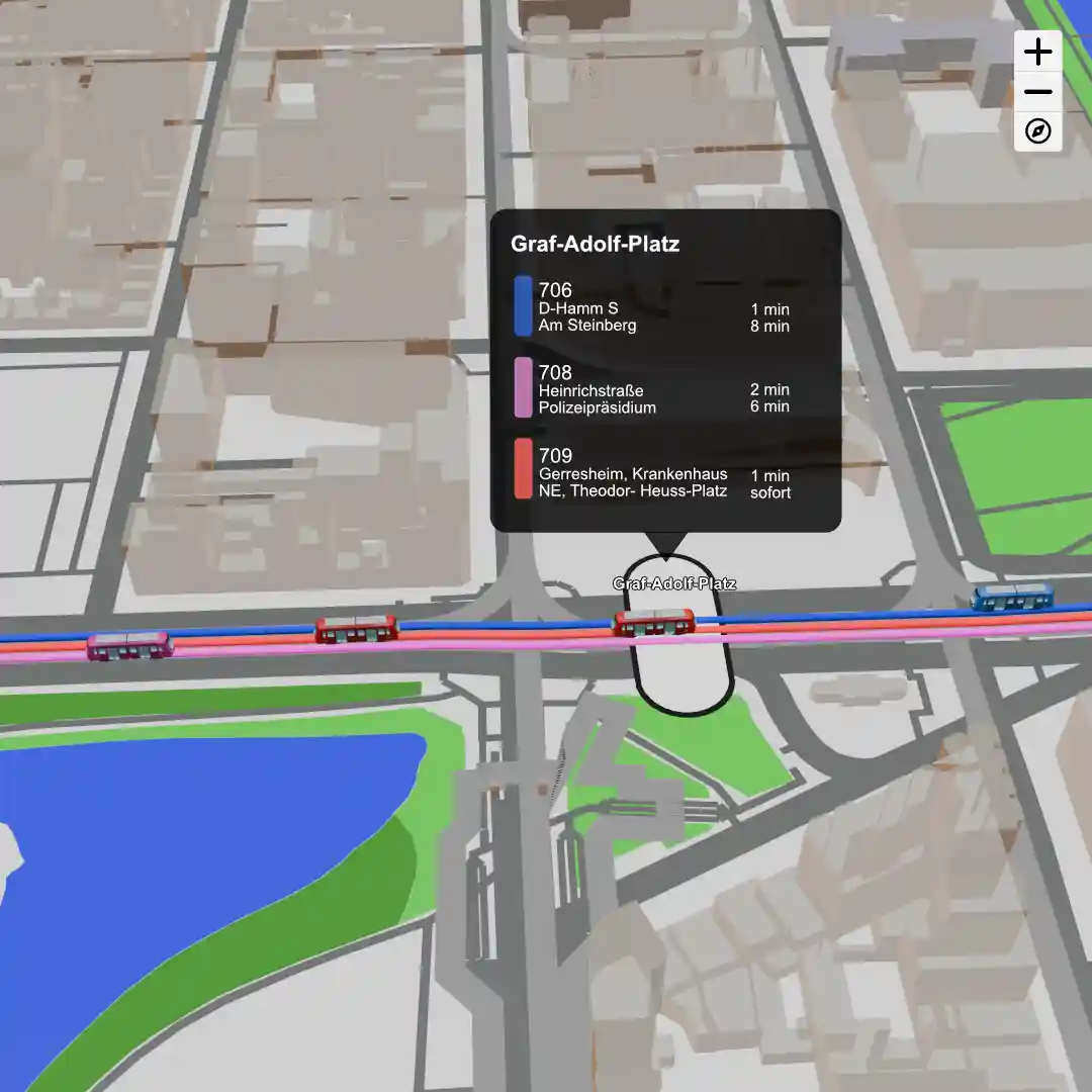
Vehicles
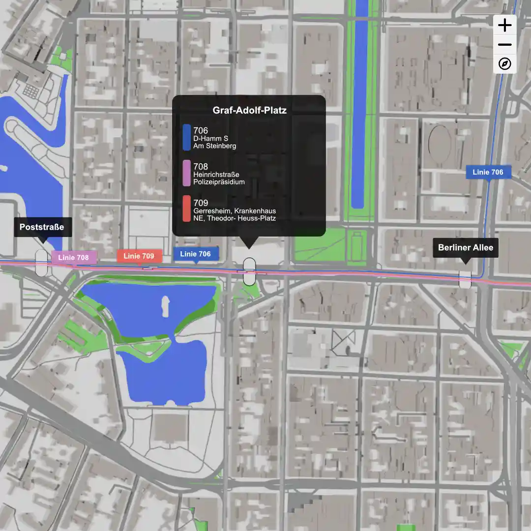
Stops
Visualize your network and vehicles, and receive live updates about your depots or stops.
Live updates via GPS or speed sensors. Overview for you and your customers.
Street Networks
Vehicles
Stops
Visualize your network and vehicles, and receive live updates about your depots or stops.
Display your vehicles on interactive maps and see all relevant information at a glance.
Integrate interactive maps into your existing applications. We are happy to assist you with this. We also implement custom adjustments.

If you have any questions, we are always available and happy to assist you.